

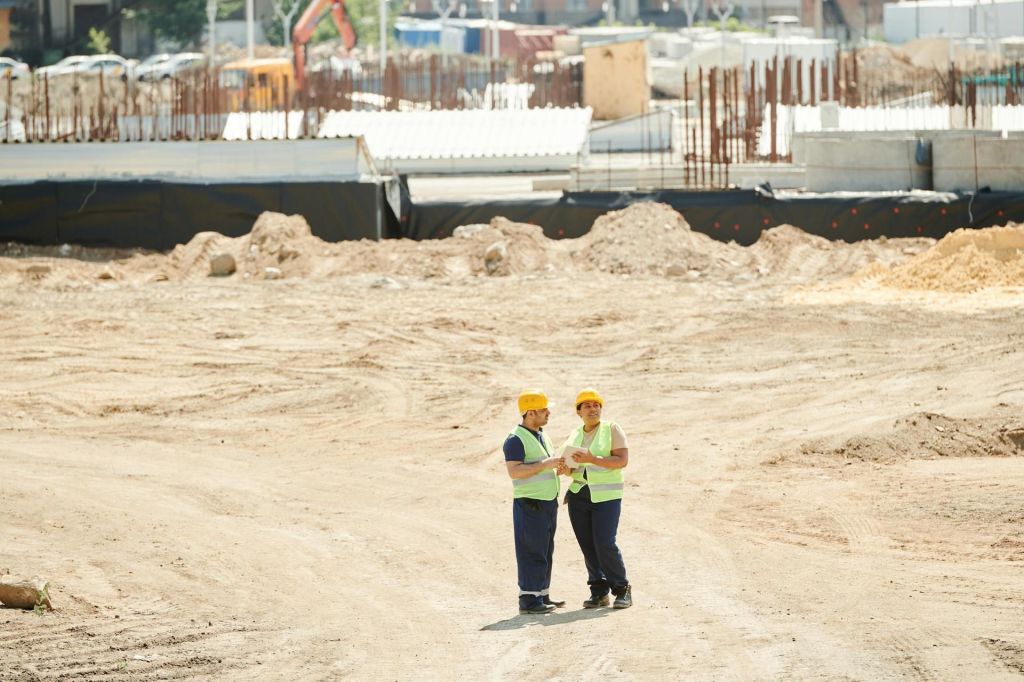
Surveying plays a critical role in the construction industry, ensuring projects are built according to specifications and on stable ground. Here are the key reasons why surveying is important:
Accurate Measurements and Layouts:
Surveyors provide precise measurements for land, structures, and boundaries. This is crucial in the planning phase, ensuring that the layout of the construction site is accurate and aligns with the project’s blueprint.
Site Assessment and Feasibility:
Before construction, surveyors evaluate the land to determine its suitability for the intended project. They assess soil conditions, topography, and any potential environmental challenges that could affect construction, ensuring the land can support the structure.
Boundary Establishment:
Surveying establishes legal boundaries, preventing disputes between property owners. This is essential for determining where construction can occur without encroaching on neighboring properties.
Preventing Costly Errors:
By ensuring accurate alignment of the site and structures, surveying helps prevent costly errors, such as misaligned foundations or structural weaknesses, which can delay projects or require expensive corrections.
Compliance with Regulations:
Surveying ensures that the construction project adheres to local regulations, zoning laws, and building codes. This helps avoid legal complications and ensures the project is carried out legally.
Monitoring and Controlling Construction:
During construction, surveyors continuously check that the work remains on track, measuring progress and ensuring the structure conforms to design specifications. This helps maintain quality and safety standards.
Infrastructure Development:
Surveying is essential for large infrastructure projects, such as roads, bridges, and utilities. Accurate surveying ensures that these structures integrate well with the surrounding environment and existing infrastructure.
In summary, surveying is indispensable for laying the groundwork of any construction project, safeguarding both the structural integrity of buildings and compliance with legal requirements.
Surveying Methods in Construction
Surveying methods in construction vary based on the project’s complexity and the terrain. These methods ensure precision in measurements, helping to execute designs accurately. Here are the main surveying methods used in construction:
Topographic Surveying
Purpose: Maps the surface features of a site, including elevation, natural and man-made structures.
Use: Used in the initial planning stages to assess land contours and terrain, guiding design decisions.
Tools: Total stations, GPS, or drones.
Boundary Surveying
Purpose: Establishes legal property lines to avoid disputes and ensure construction takes place within the correct boundaries.
Use: Critical for legal documentation and to avoid encroachment issues.
Tools: Theodolite, GPS receivers, and traditional survey instruments.
Construction/Engineering Surveying
Purpose: Ensures structures are built according to the engineering design, providing layout points for construction activities.
Use: Involves laying out building corners, foundations, utilities, and other design elements with high precision.
Tools: Total stations, levels, GPS, and lasers.
Aerial Surveying (Drone Surveying)
Purpose: Captures detailed images and data of large areas from above, creating 3D models of the site.
Use: Ideal for large-scale projects or hard-to-reach terrains, providing a fast way to gather topographical information.
Tools: Drones equipped with cameras and LiDAR.
GPS Surveying
Purpose: Uses satellite signals to determine precise locations of points on the ground.
Use: Widely used for large sites, infrastructure projects, and where traditional methods are challenging.
Tools: GPS receivers.
Laser Scanning Surveying
Purpose: Captures highly accurate and detailed 3D data of a site, using lasers to measure distances.
Use: Used for as-built surveys, renovations, and complex geometries where traditional methods may be less effective.
Tools: 3D laser scanners.
Levelling
Purpose: Measures vertical distances to establish the elevation of points on the construction site.
Use: Important for ensuring level foundations, proper drainage, and structural alignments.
Tools: Auto levels, dumpy levels, laser levels.
Hydrographic Surveying
Purpose: Surveys bodies of water, determining depth, underwater topography, and features for projects like bridges, docks, or dams.
Use: Essential for construction in coastal or water-adjacent areas.
Tools: Echo sounders, GPS, and sonar.
Photogrammetry
Purpose: Uses photographs to create maps and models of the construction site.
Use: Ideal for large-scale mapping and monitoring construction progress from a broad perspective.
Tools: Cameras, drones, and specialized software.
Control Surveying
Purpose: Establishes a reference grid for other types of surveys to ensure consistency across all measurements.
Use: Provides the foundational framework for all subsequent surveying and construction work.
Tools: Total stations, GPS, and benchmarks.
Each of these surveying methods plays a unique role in ensuring construction projects proceed smoothly, with precision and adherence to design and legal requirements. The choice of method depends on factors such as the project’s size, complexity, and terrain.

Leave a comment